

Located conveniently between Raleigh, Cary, and Durham in Wake County is the beautiful William B. Umstead State Park, or just Umstead State Park for short.
With 5,599 acres of land, the park provides the perfect sanctuary for nature lovers who want to escape the hustle and bustle of city life.
Not only does a visit to Umstead State Park allow visitors to immerse themselves in nature and hike some of the best trails in Raleigh, but there is a wide array of recreational activities you can do there, from hiking, biking, horse riding, picnicking and even camping.
If you’re thinking of visiting Umstead Park but you’re not sure what to do there or how to get there, then you’ve come to the right place.
In this guide, we’ll take a closer look at what this park has to offer and provide you with tips and suggestions on how to get there and how to make the most of your visit.
About Umstead State Park
Umstead State Park is not just a place of unbeatable nature and wilderness exploration, it’s also a place of history. The area used to be wild and remote, untamed and crowded with elk, American bison, bobcats, and wolves.
When the Native Americans came to the nearby area to establish trade routes, they built trails through the area and established a settlement there.
Then in 1774, the area began to develop into a larger settlement. The forests were cleared and farms popped up, and poor agricultural efforts depleted the soil, and by the Great Depression Era, any attempt to grow cotton was futile.
In 1934, the land was bought by the Resettlement Administration and developed into a recreational area known as Crabtree Creek Recreation Area. By 1937, the park was complete and opened to the public.
In the 1950s, the park was expanded and a further 1,000 acres of land was added to the park, though it was established as a separate park for the African-American community. This area of the park was called Reedy Creek State Park.
Not long after, the park was renamed after former Governor William Bradley Umstead who was well known for his conservation efforts. The whole park was renamed in 1966 and it became one park, open to everyone.
Activities in Umstead State Park
There’s no shortage of things to do at Umstead State Park. Whether you’re interested in hiking, biking, fishing, or picnicking, this park has something for everyone.
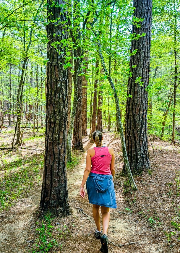
Hiking Trails
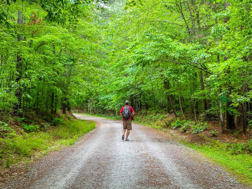
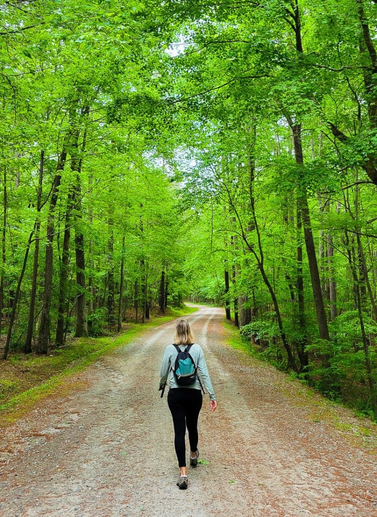
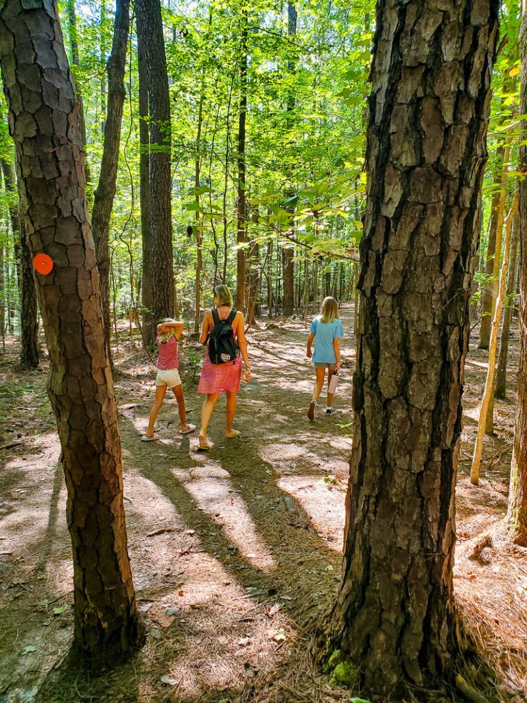
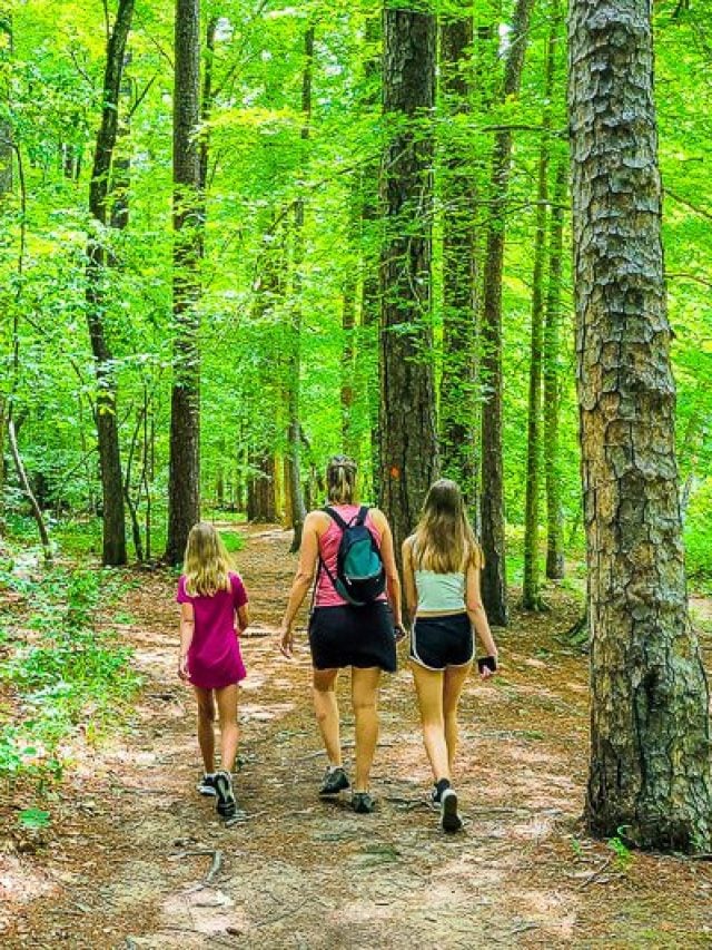
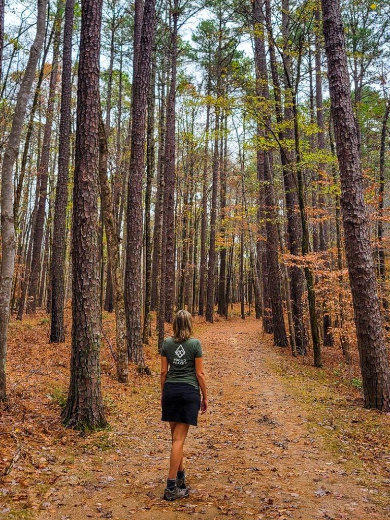
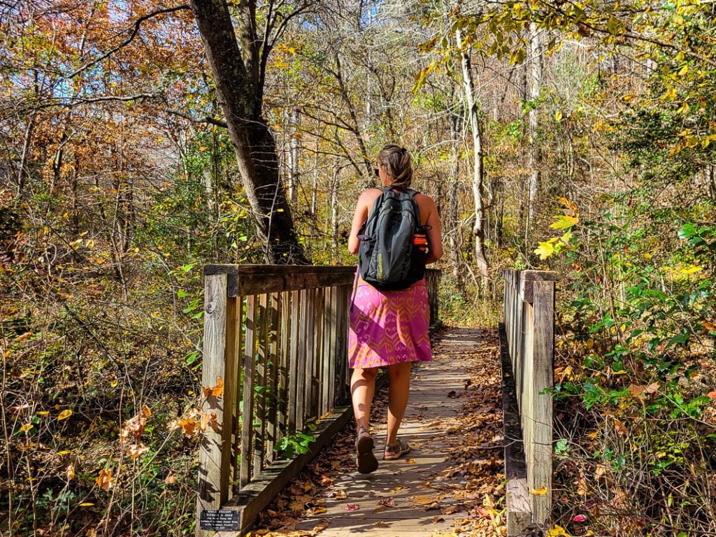
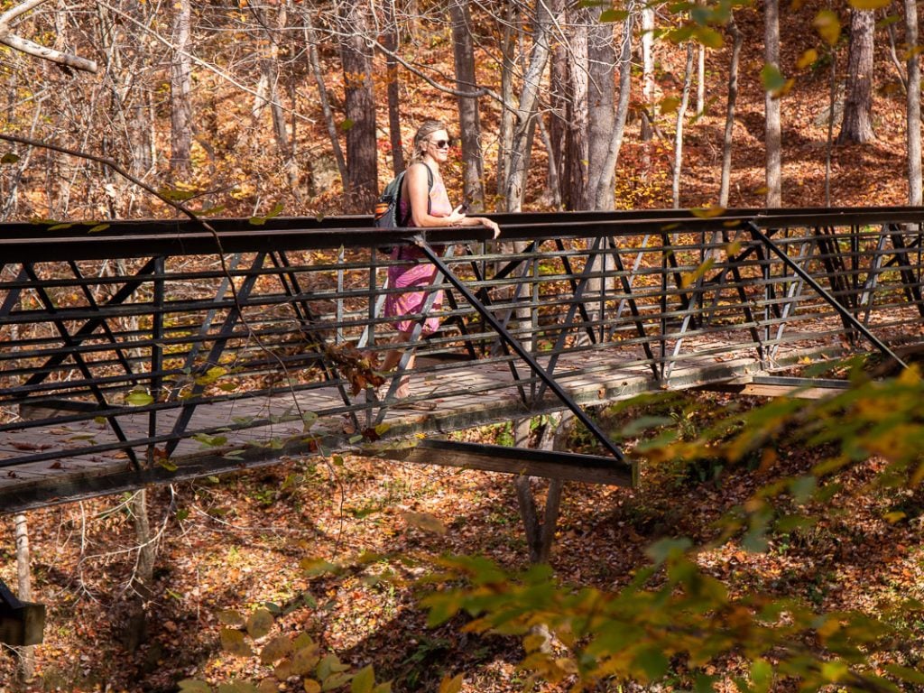
The park features over 22 miles of Umstead park trails, ranging from easy to moderate difficulty levels and varying different lengths.
Below are some of our favorite hiking trails in Umstead State Park. Be sure to download and print the Umstead Park map. And of course, wear comfortable walking shoes and bring adequate water and snacks.
Sal’s Branch Trail
- Length of Trail: 2.8 miles
- Elevation: 183 ft
- Time to complete: 1 hour
- Trail type: loop
- Difficulty level: Easy
- Surface type: natural
One of the easiest trails in Umstead State Park and great for families is Sal’s Branch Trail, which is a short 2.8-mile loop trail through the north of the park and takes you through the pine and hardwood forest towards Big Lake and back to the parking lot.
This is an easy trail you can do with small children or with dogs and the perfect trail for your first visit to the park!
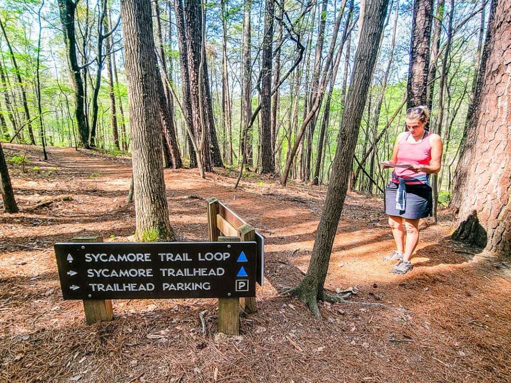
Sycamore Trail
- Length of Trail: 7.2 miles
- Elevation: 610 ft
- Time to complete: 2 hours 45 minutes
- Trail type: loop
- Difficulty level: Moderate
- Surface type: natural
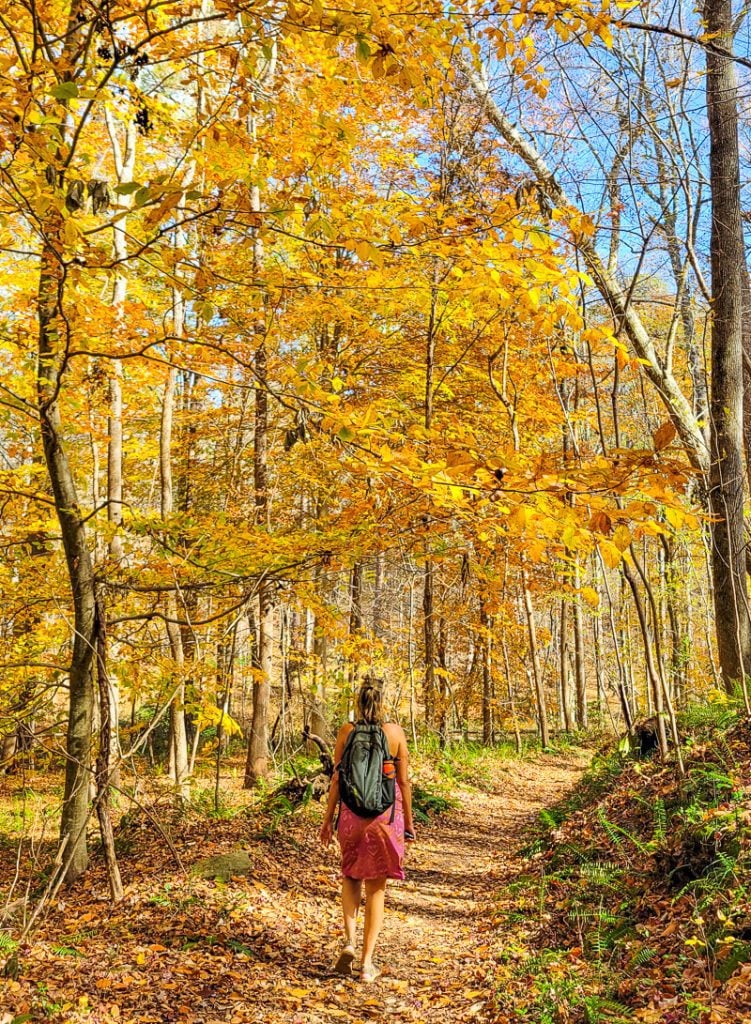
If you’re up for a woodland walk, the Sycamore Trail is a 7.2-mile loop and the longest trail in the park that takes you through some of the park’s most rugged terrain, but as an experienced hiker I don’t find it strenuous at all!
This trail is rated as a moderate hike and rambles through the northern side of the park. It doesn’t have much in the way of views, but it provides a lovely natural escape from the sounds of traffic and is often visited by local wildlife such as deer and snakes.
This is a wonderful trail to do in the Fall (or anytime) when the foliage is rich in oranges, yellows and reds.
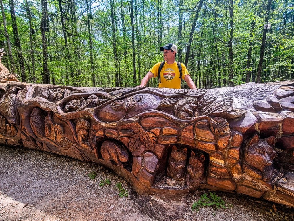
NOTE: we combined this trail with a viewing of the incredible Chainsaw Art in William B. Umstead State Park. A fallen red oak tree, approximately 25 feet long has been carved by artists Jerry Redi and Randy Boni of Smoky Mountain Art using chainsaws to cut and carve away a series of animals, tree branches and leaves into the downed tree that lays just off the Graylyn multi-use trail (if you are walking anti-clockwise on the Sycamore loop, take a right at the junction of the Graylyn MUT).
Loblolly Trail
- Length of Trail: 2.7 miles one way (we made it into about a 5 mile loop hike)
- Elevation: 420 ft
- Time to complete: 2 hours 30 minutes
- Trail type: Out & Back (but we turned it into a loop)
- Difficulty level: Moderate
- Surface type: natural surface
One of the park’s most popular trails is the Loblolly Trail, which is a 5.4-mile out-and-back trail that takes you through some of Umstead’s most picturesque woodland. We turned it into a loop by combing part of the Ready Creek Multiuse trail.
Along the way, you’ll pass by creeks and hardwood forests. The trail is quite wide and slopes gradually, so even though it’s rated moderate, it is quite an easy trail as long as you have appropriate footwear. It’s also shaded throughout, making it the ideal hike for a summer’s day.
Graylyn Multiuse Trail (MUT)
- Length of Trail: 1.6 mils each way
- Elevation: 301 ft
- Time to complete: 1 hour 15 minutes
- Trail type: out and back
- Difficulty level: easy
- Surface type: natural surface
The Graylyn Trail is a multi-use trail (MUT) that is popular amongst bikers, joggers, and hikers. Like other trails, it passes through the hardwood forest and streams, but it’s most famous for its log art.
Along the trail you will see a fallen down hardwood tree, which has been carved into, displaying intricately detailed woodland animals and trees.
Potts Branch Trail
- Length of Trail: 1.9km
- Elevation: 95 ft
- Time to complete: 30 minutes
- Trail type: loop
- Difficulty level: easy
- Surface type: natural surface
If you’re looking for a short 30-40 minute trail to walk the dog or young kids, then the Potts Branch Trail is the ideal choice.
This short 1.3 mile loop trail winds parallel to a beautiful stream and through the hardwood forest. If you feel like extending this hike, you can connect to the Oak Rock or Sycamore Trails from this hike.
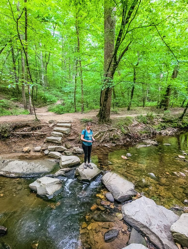
Company Mill Trail from Reedy Creek
- Length of Trail: 5.8 miles
- Elevation: 613 ft
- Time to complete: 2.5 hours
- Trail type: Loop
- Difficulty level: Moderate
- Surface type: natural surface
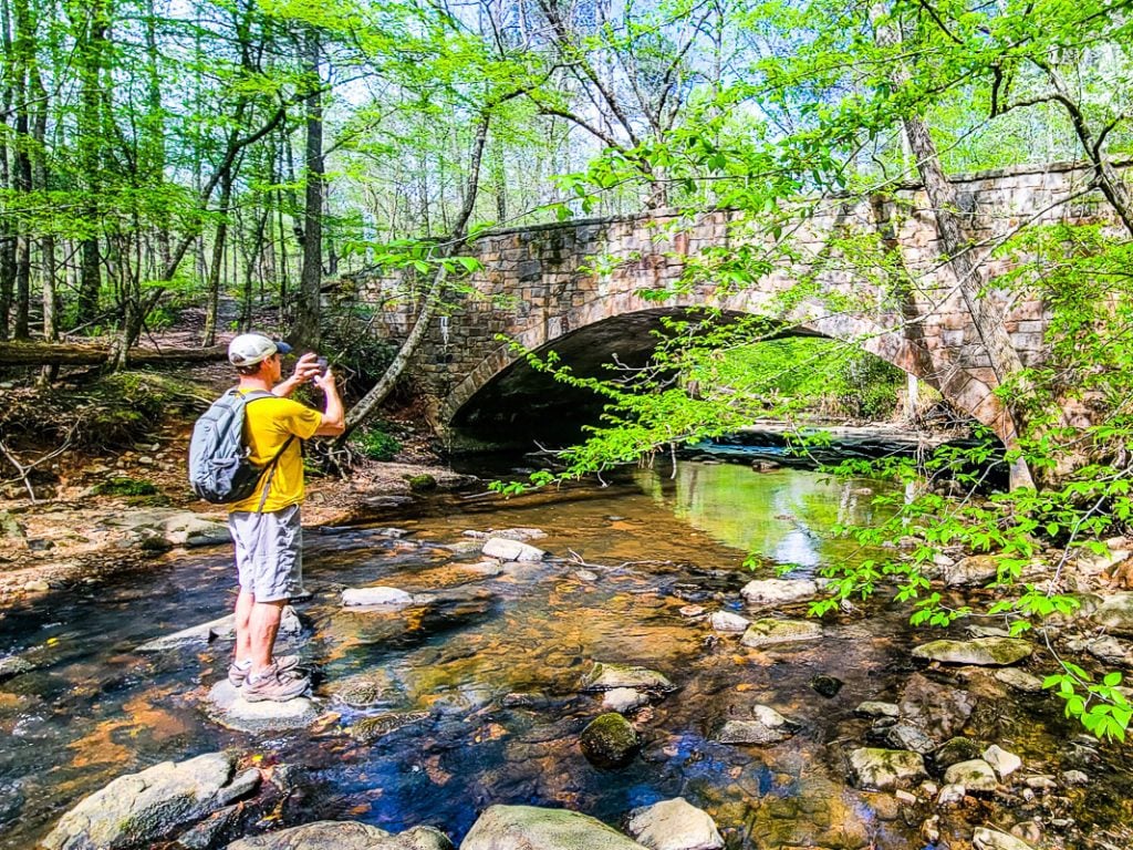
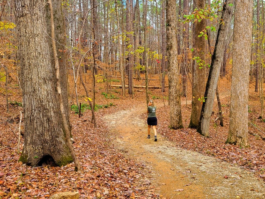
The Company Mill Trail is a popular trail and one of my absolute favorites that takes you on a loop through the forest of Umstead and past refreshing streams.
The trail is named after the former Company Mill that used to reside here until the 1900s. It belonged to the Page family and was used as a social and economic center until the 1900s. You can see the remains of the Mill’s dam on the walk by the stream.
It’s a lovely, shaded walk, though the bugs are usually out in full force so do keep that in mind when visiting. What’s great about this walk is that it’s dog friendly and relatively easy, as long as you have sturdy shoes as there are some exposed roots on the trail.
Cedar Ridge Multi Ridge Trail
- Length of Trail: 1.5 miles each way
- Elevation: 488 ft
- Time to complete: 2 hours 20 minutes
- Trail type: loop
- Difficulty level: Moderate
- Surface type: natural surface / gravel
Another popular multi-use trail is the Cedar Ridge Trail, which is a bit more “all-terrain” than the other trails as it has a water crossing and is often quite muddy.
While it’s more popular with bikers than hikers, the Cedar Ridge Trail has a lot of beautiful scenery and passes Reedy Creek Lake.
North Turkey Creek Trail
- Length of Trail: 2.6 miles each way
- Elevation: 567 ft
- Time to complete: 2 hours 20 minutes
- Trail type: out and back
- Difficulty level: Moderate
- Surface type: natural surface
The North Turkey Trail is a multi-use trail that is frequently used by horseback riders and bikers. It has some steep inclines and some sharp rocks underfoot, so you will need to wear sturdy hiking boots.
It’s a nice hike through the woodlands, but you do need to watch out for bikers and horses.
South Turkey Creek Trail
- Length of Trail: 2.8 miles each way
- Elevation: 141 ft
- Time to complete: 1 hour
- Trail type: out and back
- Difficulty level: easy
- Surface type: gravel, a natural surface (dirt)
The South Turkey Creek Trail connects to the North Turkey Trail and Cedar Ridge Trail and is also used by horseback riders and bikers.
It’s an easy trail and is often quiet, so if you’re looking for a trail that offers solitude in the woods, this is it.
Inspiration Trail
- Length of Trail: 0.4 mile loop
- Elevation: 104 ft
- Time to complete: 20 minutes
- Trail type: loop
- Difficulty level: easy
- Surface type: natural surface
The inspiration trail is a short and easy trail that allows visitors a chance to see the different varieties of trees that grow inside the park.
The trail takes you through a woodland of American Beech, American Holly, Cedar, Chestnut Oak, Hickory, Ironwood (Hornbeam), Mountain Laurel, Loblolly Pine, Poplar, Sweet Gum, and White Oak trees, which are accompanied by information signs where you can learn more about the species.
Big Lake Upper Dam
- Length of Trail: 1.9 miles
- Elevation: 114 ft
- Time to complete: 40 minutes
- Trail type: loop
- Difficulty level: easy
- Surface type: natural surface/road
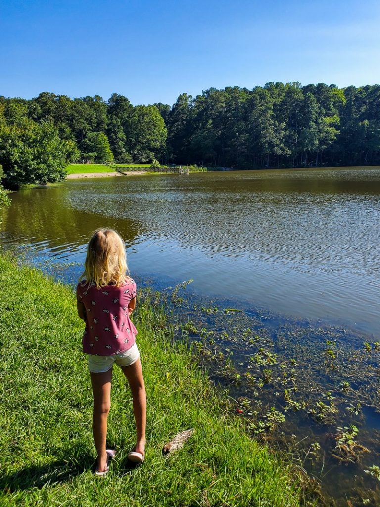
This is another scenic short hike down to Big Lake that also connects to the larger Sal’s Branch Trail. The trail itself is easy and passes through woodland and ends up at the largest lake in the park, Big Lake.
Note: at least half of this trail it is along a road with no sidewalk, so it’s not ideal for dogs or children for this reason.
Davie’s Pond Loop
- Length of Trail: 3.4 miles
- Elevation: 206 ft
- Time to complete: 1.5 hours
- Trail type: loop
- Difficulty level: easy
- Surface type: natural surface
Another quiet woodland trail in Umstead is the Davie’s Pond trail, which takes you on a woodland walk to Davie’s Pond and then back to the parking lot.
The trail offers visitors a chance to see native plants and fungi, as well as wildflowers. It’s not the most popular trail which means it’s ideal for those who prefer to have a quiet, secluded walk through the woods. Note: we accessed this pond via the Loblolly Trail.
Richland Lake Loop
- Length of Trail: 4 miles
- Elevation: 249 ft
- Time to complete: 1 hour 25 minutes
- Trail type: loop
- Difficulty level: Easy
- Surface type: gravel
The Richland Lake trail is another easy trail in Umstead that loops around the Eastern side of the park. It’s not the most scenic trail, but it offers visitors a chance to see wildlife and wildflowers around the Richland Lake, and since it’s one of the quieter trails, you are likely to enjoy it all to yourself!
If you want to extend this hike, you can connect it to the South Turkey trail, the Loblolly trail, or take the Richland Dam to the Reedy Creek Greenway trail.
Oak Rock Trail
- Length of Trail: 0.6 mile loop
- Elevation: 45 ft
- Time to complete: 12 minutes
- Trail type: loop
- Difficulty level: easy
- Surface type: natural surface
Finally, there’s the Oak Rock trail, which is so short it hardly counts as a hiking trail, but it is a great little loop for those who are interested in looking out for a unique phenomenon in nature.
The trail can be found by the first parking lot on the left, after the Visitor Center. It’s known for its non-native trees which have informational signs detailing their history, as well as an old dam and an Oak Tree that grows out of a rock (hence the name, Oak Rock).
See the full list of Umstead Park trails here. And don’t forget to download and print the Umstead Park map here.
Mountain Biking
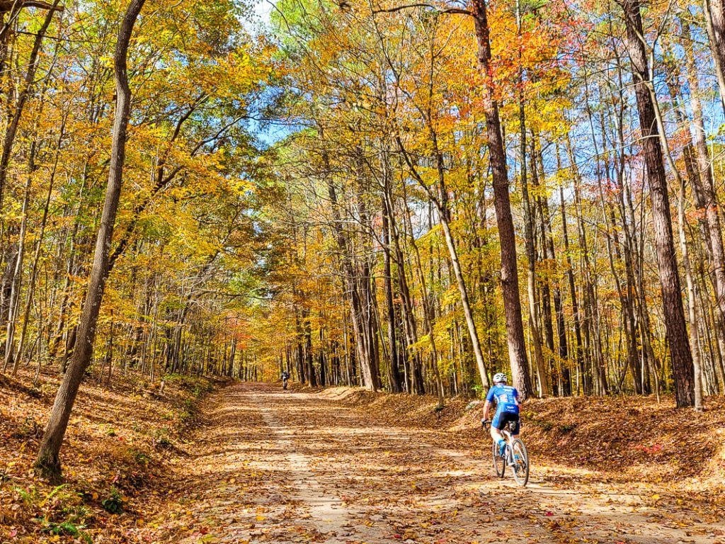
For those who prefer two wheels over two feet, Umstead State Park is one of the few state parks that has a mountain bike trail.
The park’s biking trails follow the same roads as the bridle trails, which are open to both horseback riders and bikers, so be sure to keep an eye out for horses while you’re riding.
The trailhead for bikes is on Sycamore Road past Maple Hill Lodge. Note that you cannot cycle on the hiking trails, only the biking trails.
Horse Riding
Horse riding is one of the most exciting and unique ways to explore the natural beauty of Umstead Park. With over 13 miles of bridle trails, horseback riders can explore stunning landscapes with breathtaking views.
Riding through the park’s wooded trails, open meadows, and tranquil streams on horseback is an experience like no other, but your horse will need to be ok with bikers sharing the trail with them. If you plan to bring your horse, you must check in at the Visitor Centre first.
Camping
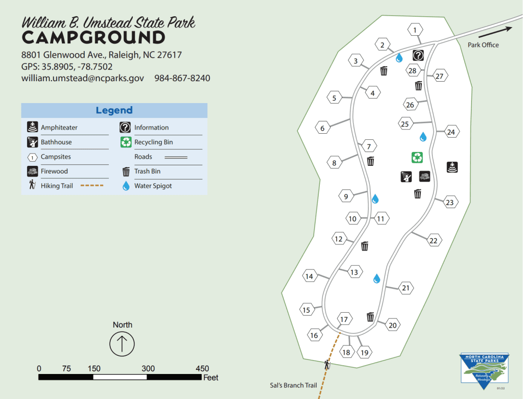
For those who want to spend the night under the stars, Umstead State Park has two campgrounds with a total of 28 campsites. See this map.
This is purely tent camping, no RV’s or hookups available and is open from March – December. Each of the 28 campsites is available on a first-come, first-served basis and is equipped with grills, picnic tables, and is sheltered by the hardwood forest.
They also have access to restrooms and showers, but there are no hookups available. Make a camping reservation here.
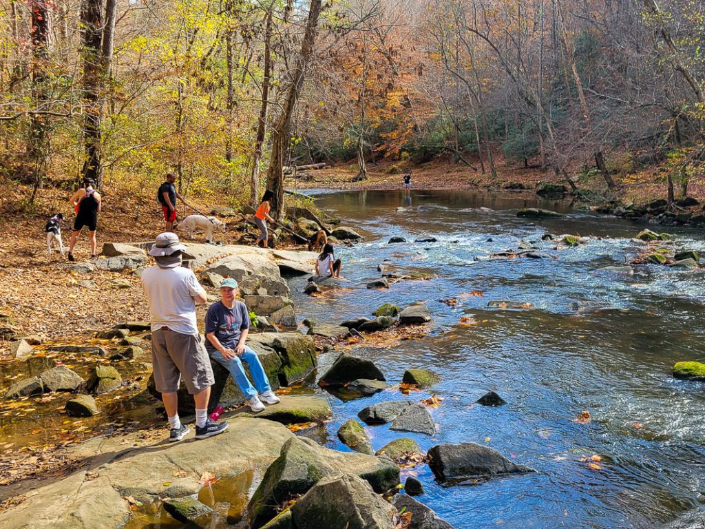
Boating and Fishing
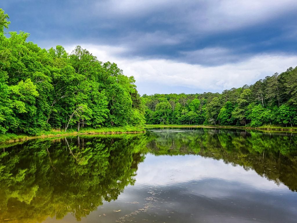
Umstead State Park is home to several bodies of water, including Big Lake, where visitors can fish for bass, catfish, and bluegill.
You can spend a day boating on the water by renting a rowboat or canoe from the Big Lake boathouse. Boat rentals are available throughout the summer and on weekends in Spring and Fall. You cannot bring your own boat and there are no motorized boats allowed.
Alternatively, you can cast your line in the 55-acre Big Lake, or head over to the smaller Sycamore Lake or Reedy Creek Lake and try your luck there. Anglers need to follow the regulations of the North Carolina Wildlife Resources Commission.
Picnics
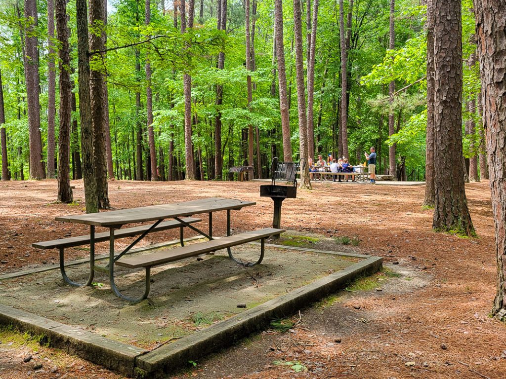
If you’re looking for a more leisurely activity, Umstead State Park has plenty of picnic areas where you can relax and enjoy the outdoors.
There are 40 picnic tables in the Crabtree Creek section and 25 in the Reedy Creek section. Both sections have shelters of varying sizes scattered throughout the park under the trees.
The park features several shelters that can be reserved for groups, as well as numerous tables and grills for individual use.
Wildlife Watching
Umstead Park is home to a wide variety of wildlife, including deer, raccoons, foxes, and even the occasional bobcat or coyote. Birdwatchers will also appreciate the park’s diverse bird population, which includes woodpeckers, owls, and hawks.
How to get to Umstead State Park
Umstead is conveniently located just a few miles away from downtown Raleigh and Raleigh-Durham International Airport, making it easily accessible for travelers coming from out of town.
The park has two entrances:
- The Crabtree Creek Entrance is directly off I70, taking Exit 287. Address: 8801 Glenwood Ave, Raleigh
- The Reedy Creek Entrance can be found off of N. Harrison Ave. Address: 2100 N. Harrison Ave., Cary
- See the official website here.
Parking
You will find parking for the Reedy Creek Entrance off Harrison Ave, or if you are coming by the Crabtree Creek Entrance, you will find parking by the Potts Branch and Sycamore trails.
There are ample parking spaces and parking is free. There is also a public restroom and drinking water fountain at each parking lot.
Opening Hours (& Fees)
The park is open every day of the year except Christmas Day, but hours differ depending on the time of year. Umstead State Park is free to enter. The only cost is the boat rentals.
- November – February – 8.00am – 6.00pm
- March – 8.00am – 7.00pm
- April – May – 8.00am – 8.00pm
- June – August – 8.00am – 9.00pm
- September – 8.00am – 8.00pm
- October – 8.00am – 7.00pm
The park office opens from 8.00am – 5pm, and the visitor center opens from 8.00am – 5.00pm November – February, and 9.00am – 6.00pm March – October.
Important Tips
Before you head out to Umstead State Park, here are a few important things to keep in mind:
- Dogs are allowed in the park, but they must be kept on a leash at all times.
- Be aware that ticks and mosquitoes are present in the park, especially during the summer months. Be sure to bring bug spray and check yourself for ticks after spending time in the park.
- The park is open year-round, but some areas may be closed during certain times of the year. Check the park’s website or call ahead to ensure that your desired activities are available.
- Umstead State Park is a wilderness area, so take appropriate precautions when hiking or camping. Be sure to bring plenty of water, food, and other essential supplies, and let someone know where you’re going before you head out.
Final Thoughts
Umstead State Park is a nature lover’s paradise. With its miles of trails, serene lakes, and diverse wildlife, this park offers visitors an opportunity to escape the hustle and bustle of city life and immerse themselves in the great outdoors.
Whether you’re looking for an hour’s long hike, a day trip or a weekend excursion, Umstead State Park is definitely worth a visit.